

Pawleys Island Weather & 7 Day Forecast
Radar, the seven day forecast and any active alerts, straight from the National Weather Service office in Wilmington. Water temperature and tide come from NOAA.
Heat Advisory until 8:00 pm, Wed 12 Aug
Heat Advisory issued August 11 at 7:39PM EDT until August 12 at 8:00PM EDT by NWS Wilmington NC
* WHAT...Heat index values up to 107 expected.

* WHERE...Portions of southeast North Carolina and northeast South
Carolina.

* WHEN...From noon to 8 PM EDT Wednesday.

* IMPACTS...Hot temperatures and high humidity may cause heat
illnesses.
What to do
Drink plenty of fluids, stay in an air-conditioned room, stay out of
the sun, and check up on relatives and neighbors.
Issued by NWS Wilmington NC.
Current conditions
81°F
Clear
- Wind6 mph WSW
- Visibility10 mi
- Water84.2°
- Ocean tideFalling
Observed at Georgetown County Airport, 8:15 pm. That is the nearest reporting station, about twelve miles inland, so the beach usually runs a few degrees cooler on a summer afternoon.
The next seven days
- Today 77° Slight Chance Showers And Thunderstorms 4%
- Tomorrow 93° 78° Sunny 9%
- Thu 93° 80° Sunny 7%
- Fri 94° 80° Mostly Sunny 5%
- Sat 88° 78° Mostly Sunny then Chance Showers And Thunderstorms 45%
- Sun 86° 79° Mostly Sunny then Slight Chance Showers And Thunderstorms 17%
- Mon 90° 80° Sunny 8%
Read the forecast discussion in full
Tonight. A slight chance of showers and thunderstorms between 11pm and 1am. Mostly clear, with a low around 77. Southwest wind around 8 mph.
Wednesday. Sunny, with a high near 93. Heat index values as high as 104. West wind 5 to 8 mph.
Wednesday Night. Mostly clear, with a low around 78. Heat index values as high as 102. Southwest wind 2 to 8 mph.
Thursday. Sunny, with a high near 93. Heat index values as high as 108. Southwest wind 2 to 9 mph, with gusts as high as 16 mph.
Thursday Night. Mostly clear, with a low around 80. South wind 6 to 9 mph.
Friday. Mostly sunny, with a high near 94.
Friday Night. A slight chance of showers and thunderstorms between 8pm and 2am. Partly cloudy, with a low around 80.
Saturday. A chance of showers and thunderstorms after 2pm. Mostly sunny, with a high near 88. Chance of precipitation is 50%.
Saturday Night. A chance of showers and thunderstorms before 8pm, then a chance of showers and thunderstorms between 8pm and 2am. Mostly cloudy, with a low around 78. Chance of precipitation is 50%.
Sunday. A slight chance of showers and thunderstorms after 2pm. Mostly sunny, with a high near 86.
Sunday Night. A slight chance of showers and thunderstorms before 8pm. Mostly clear, with a low around 79.
Monday. Sunny, with a high near 90.
Monday Night. A slight chance of showers and thunderstorms between 8pm and 2am. Mostly clear, with a low around 80.
Next twelve hours
- 8pm 85° 3%
- 9pm 84° 2%
- 10pm 83° 4%
- 11pm 82° 4%
- 12am 82° 3%
- 1am 81° 3%
- 2am 80° 4%
- 3am 79° 3%
- 4am 79° 3%
- 5am 78° 3%
- 6am 78° 3%
- 7am 78° 4%
Scroll for later. Percentages are the chance of rain.
Radar
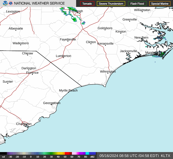
Station KLTX at Shallotte, which covers the whole Waccamaw Neck. The loop is a large image, so it only loads when you ask for it. Full radar viewer
All forecasts, watches and warnings on this page come from the National Weather Service and are quoted as issued. Water temperature and tide predictions come from NOAA CO-OPS. We do not adjust, smooth or reword any of it. In severe weather follow NWS Wilmington and Georgetown County Emergency Management rather than this page.